01
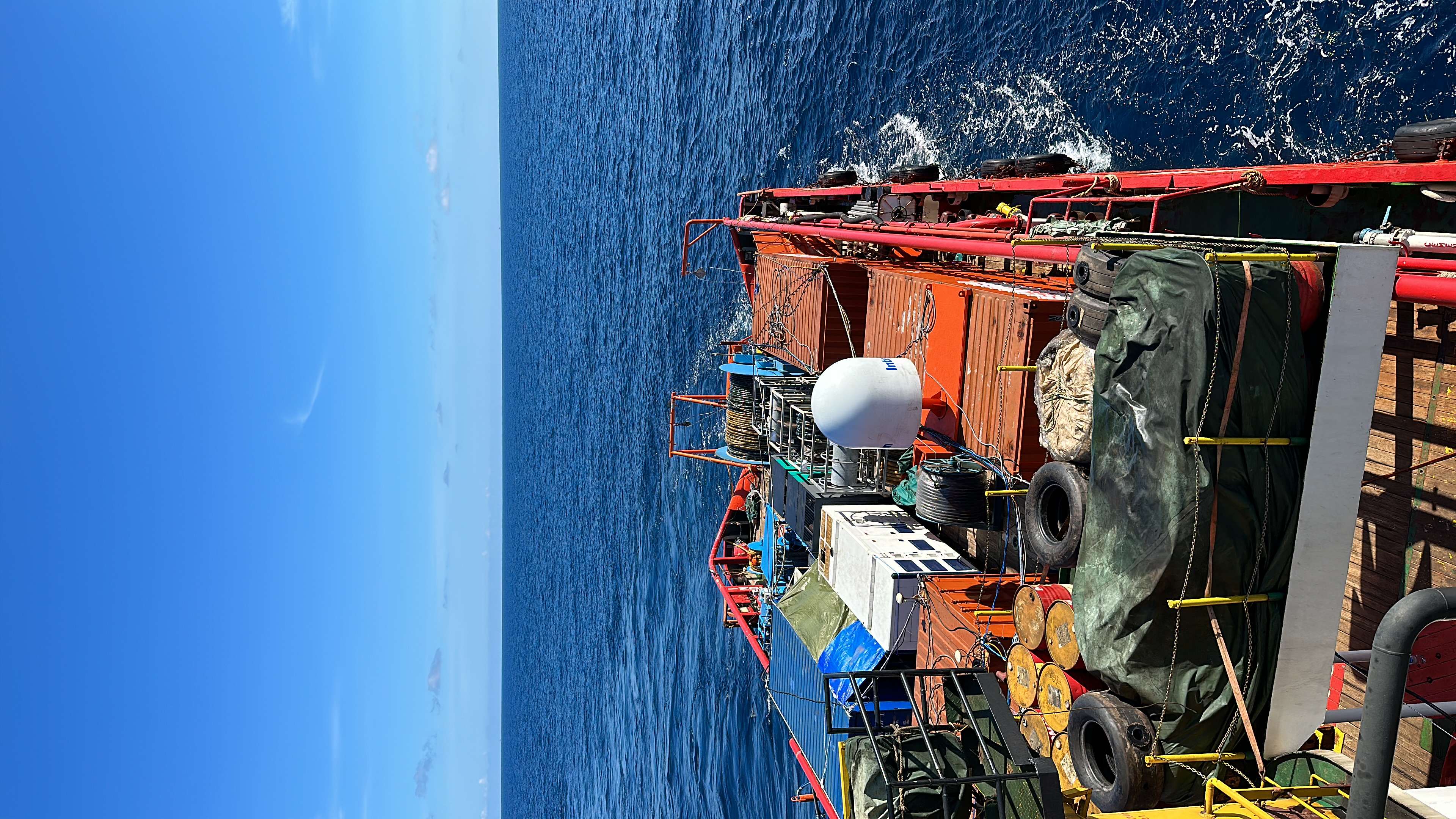
Marine Geophysical Survey
2D High Resolution Seismic (2DHRS) · Ultra High Resolution Seismic (UHRS) · Multibeam Echo Sounder (MBES) · Single Beam Echo Sounder (SBES) · Side Scan Sonar (SSS) · Sub Bottom Profiler (SBP) · Magnetometer

GEOLANTIC
Marine geophysical, positioning and geoscience solutions for offshore energy and infrastructure.
Explore our capabilities →Geolantic delivers marine geophysical, positioning, offshore construction survey and geoscience solutions through an experienced team and a comprehensive mobile survey spread. Our vessel-independent approach enables efficient mobilisation onto suitable vessels of opportunity for each project.
2D High Resolution Seismic (2DHRS) · Ultra High Resolution Seismic (UHRS) · Multibeam Echo Sounder (MBES) · Single Beam Echo Sounder (SBES) · Side Scan Sonar (SSS) · Sub Bottom Profiler (SBP) · Magnetometer
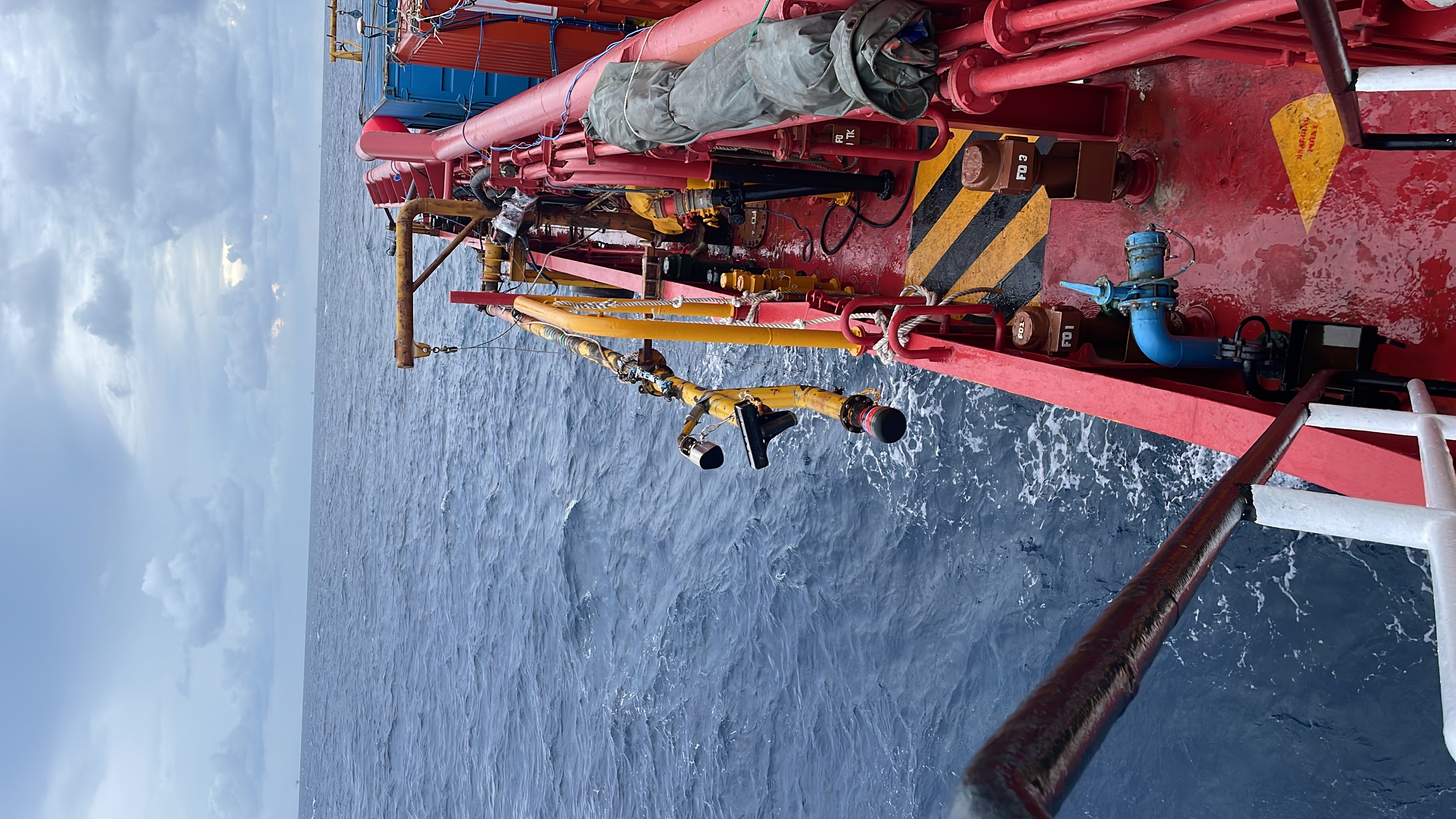
USBL Systems · DGPS / GNSS Positioning · Surface & Subsea Positioning · Rig Moves · Construction Support
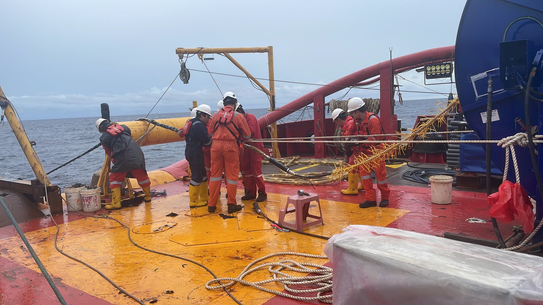
Pipeline · Cable · Installation · As-Built · ROV Survey
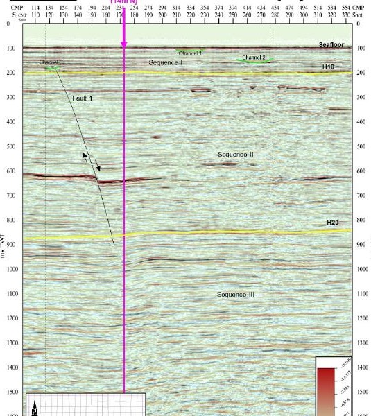
Processing · Interpretation · Geohazard Assessment · Reporting · GIS · Seismic & Seabed Data Integration
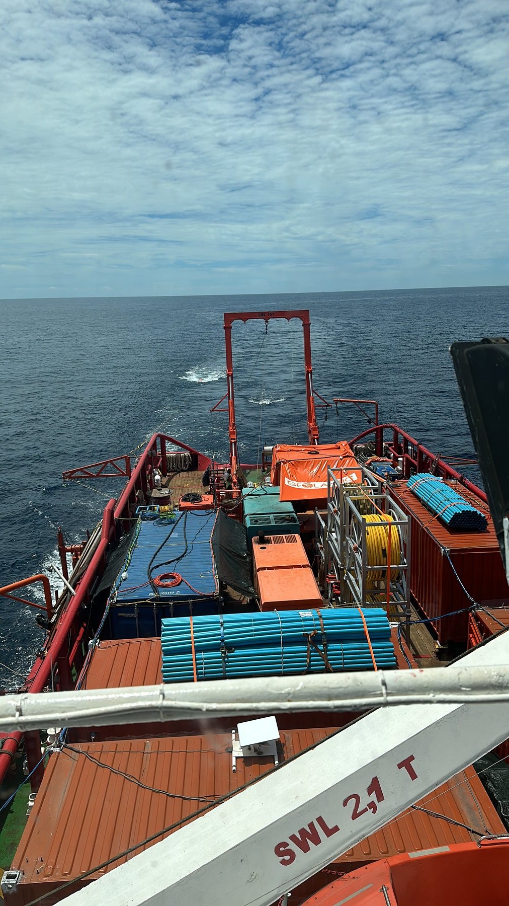
A comprehensive mobile marine geophysical survey spread designed for rapid mobilisation onto suitable vessels of opportunity.
Our integrated spread supports navigation and positioning, USBL, MBES, side scan sonar, sub-bottom profiling, magnetometer and 2D high-resolution seismic acquisition, with system functionality and data quality verified through full-spread sea trials.
Our team manages vessel integration, equipment installation, commissioning and testing to get survey operations ready efficiently and safely.
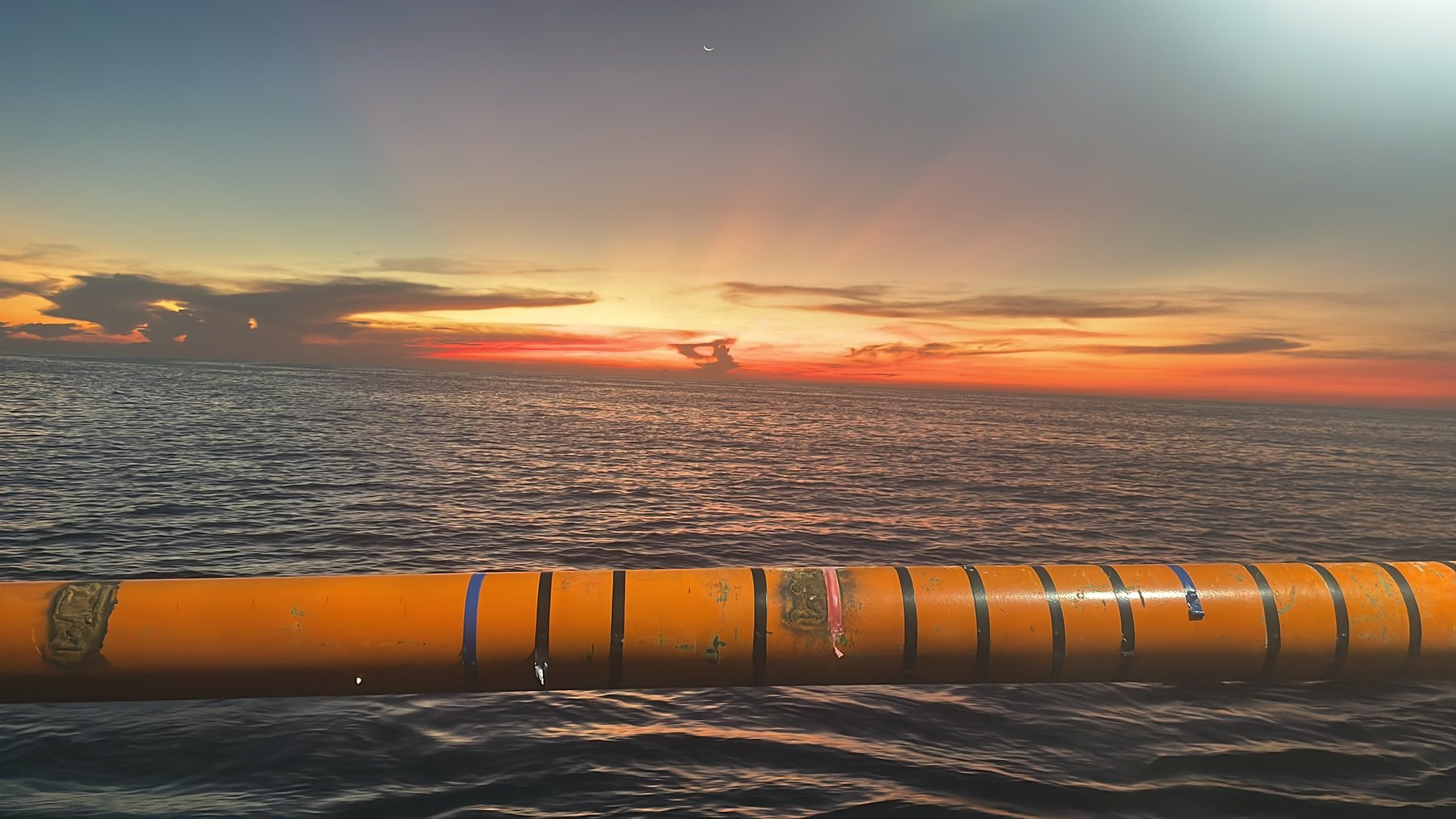
Geolantic’s track record extends across Thailand, Malaysia, Myanmar, Taiwan, Brunei, the United Kingdom and the English Channel / France.
Experience includes Geophysical Site Investigation (GSI), 2D High Resolution and UHRS surveys, pipeline route surveys, seabed debris and clearance surveys, offshore wind farm support, UXO survey support, sub-bottom profiling, pipeline free-span surveys and geophysical reporting services.
Discuss your next project →Suite 9-06, Level 9, V Office
Lingkaran SV, Sunway Velocity
55100 Kuala Lumpur
Malaysia
Tel: +60 3 9202 8557
No. 9, Jalan Ekoperniagaan 1/17
Eco Business Park 1
81100 Johor Bahru
Malaysia
Tel: +60 7 362 1194